Glancing Aft
Active Member
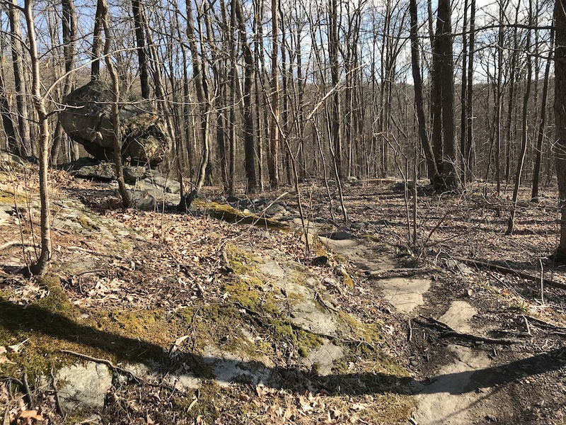
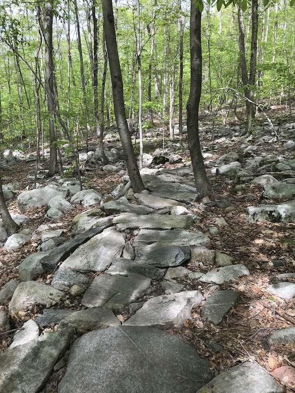
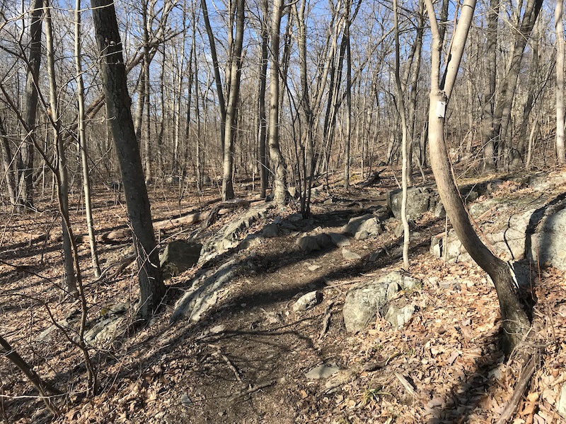
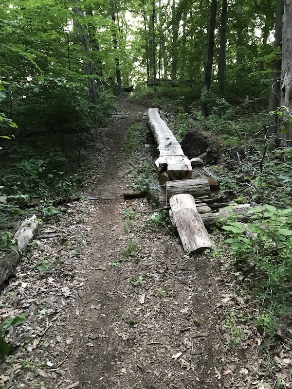
Not the greatest, but it's something
http://www.rvccmtb.com/RVCC%20ringwood%20map.jpg
http://www.rvccmtb.com/RVCC%20ringwood%20map.jpg


 www.dropbox.com
www.dropbox.com
www.dropbox.com

 www.mtbproject.com
www.dropbox.com
www.mtbproject.com
www.dropbox.com
 www.mtbproject.com
www.dropbox.com
www.mtbproject.com
www.dropbox.com
 www.mtbproject.com
www.dropbox.com
www.mtbproject.com
www.dropbox.com
 www.mtbproject.com
I like riding from the north to the south.trail question. If I'd like to ride blue skylands trail and the red portion between defiance road and sklylands, is it better in the north or south direction? How difficult are these? Harder than Warm Puppy heading south? Thanks in advance. I guess while I have your attention, double "s" and six bridges, better CW or CCW? I'm just starting to learn this park and must say that riding white downhill biased into warm puppy downhill to school is my favorite ride going.
I agree north to south on sky lands and last summer I rode 6 bridges ccw and it wasn’t great ran into some people coming the other way who told me cw is the way to go, but the trail was in pretty rough shape either. I actually had a tough time finding it and staying in in some parts. Not sure it’s received any work lately