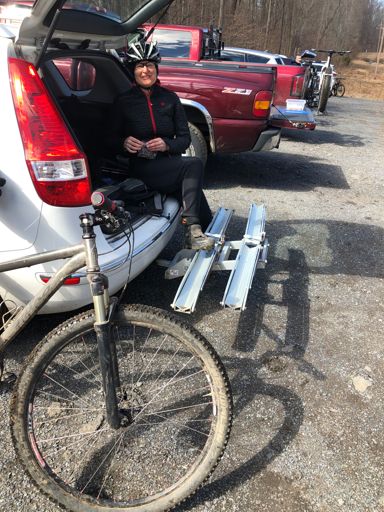
Park in the cushetunk lot - if it is full, there are spots across the railroad tracks.
Find local businesses, view maps and get driving directions in Google Maps.

goo.gl
About 25yards past the kiosk, up the powerline cut is the trailhead.
This is important - cause the other trail is closed until august, and you'd never want to ride up that anyway
(down is crazy!)
There isn't that much tech - it is mostly climbing, and descending.
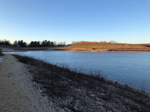
I went around the res yesterday, because i ran out of time. Usually i do an out-n-back,
and include the ridge trail -
Yesterday
View patrick mariani's ride on March 12, 2021 | Strava

www.strava.com
I didn't start the computer in the lot - but there is a right turn .4 of this ride that makes the climb up cush more tolerable -
It is the "Zee climb" on strava.
https://www.strava.com/activities/1147024533/segments/28255512625
Usually something like
Nice job out there! Working hard! | Strava
www.strava.com
at mile 1.5 of this ride, go down the hill towards the water, not up -
it doesn't ride well at all
in that direction.
there is a campground road along the water, if the return trip starts to hurt too much
😉
also, with the water down, riding the rocks on the "beach" is fun - lots of features.